
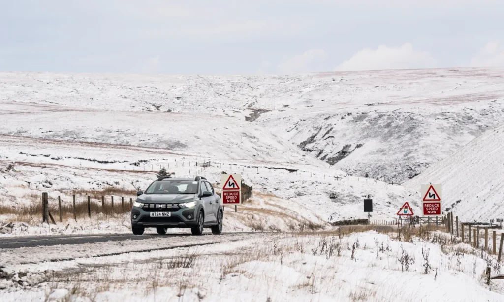
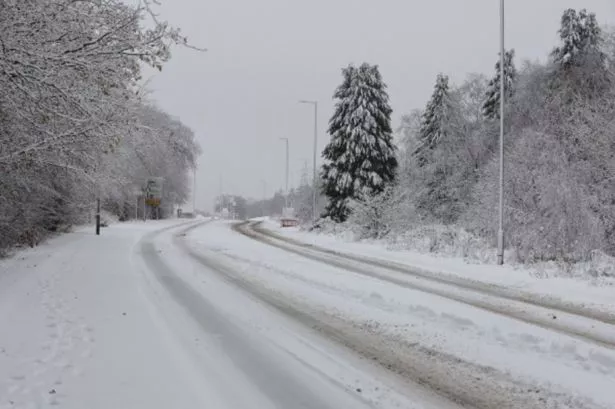
A wintry blast is set to sweep across half of the UK, bringing temperatures as low as -3°C and the first major snowfall of the season.
According to WX Charts, based on MetDesk data, a band of snow and rain is expected to move in from 6pm on Monday, 4 November, covering much of England, Northern Ireland, and Scotland.
Up to 3cm of snow could settle in the worst-hit areas, particularly northern Scotland, while flakes may also fall as far south as Greater Manchester, Lancashire, and Yorkshire. In the North East and North West of England, snowfall rates of up to 3mm per hour are possible.
The lowest temperatures, around -3°C, are forecast for western Scotland, with parts of England also dipping below freezing to -1°C.
The BBC Weather outlook for 3–16 November suggests the country may see another week of unsettled weather, including periods of rain and strong winds, before conditions begin to stabilise by mid-November.
“Temperatures are likely to remain very variable with some brief chillier interludes but won’t stray far from the November average,” the BBC noted. “Slightly milder conditions should be more prevalent.”
By mid-month, high pressure could begin to build across western Europe, pushing the jet stream northwards and bringing a drier trend especially in the southern UK, though the north may continue to see rain and wintry showers.
The BBC added that forecasts for early November still carry low confidence, but the potential for a widespread cold snap is growing.