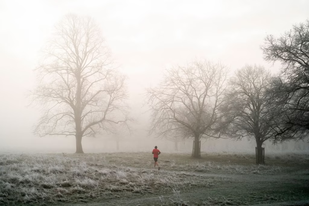
On Thursday, January 15, temperatures will fall sharply, reaching lows of -5°C in Scotland and -3°C in Cumbria. Other counties at risk include Greater Manchester, Lancashire, Cheshire, and Staffordshire.
The Met Office forecasts a period of changeable weather, with Atlantic frontal systems bringing rain and snow in northern, central, and eastern areas. Significant snowfall is possible in northern hills, accompanied by strong winds. These snow and wind periods will alternate with quieter, drier spells under temporary high-pressure ridges, which may bring frost and isolated wintry showers, especially in coastal areas exposed to northerly winds.
Temperatures are expected to trend closer to average in southern parts of the UK as the period continues, which could slightly reduce the frequency of wintry hazards in the south. The outlook for late January into early February remains uncertain, but a generally westerly weather pattern is slightly more likely, bringing periods of wet, windy, and mild conditions, interspersed with colder, drier intervals and overnight frost or fog. Snow and ice remain possible, particularly in central and northern regions, though the likelihood is lower than earlier in January.


