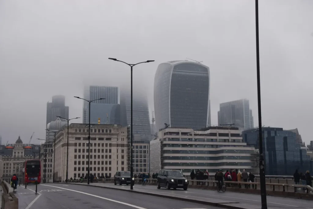
The national forecaster has rolled out its most significant upgrade in more than three years, a major overhaul of its weather-prediction system designed to improve the accuracy of rainfall, cloud cover and temperature forecasts. Officials say the changes mark a turning point in how weather is predicted across the UK.
One of the most noticeable improvements for the public is expected to be more reliable rain forecasts. Under the previous system, computer models often failed to detect light rain and drizzle, leaving people caught out despite forecasts suggesting dry conditions. At the same time, heavier rainfall was frequently overstated. During Storm Amy in October, for example, older models predicted dry weather over Cambridge, while the new system correctly identified the drizzle that actually fell.
The improvement is down to a more detailed understanding of what happens inside clouds. The upgraded physics-based models can now better simulate how water vapour condenses, how droplets form, and how they develop into rain or snow. This enhanced “microphysics” allows forecasters to judge not just whether it will rain, but how much and how intense it is likely to be.
The new system also delivers more precise forecasts of cloud cover and cloud height, a development that could reduce disruption at major airports such as Heathrow. Low cloud, mist and fog are among the most common causes of flight delays, and better predictions should allow airport operators to plan more effectively.
Professor Simon Vosper, director of science at the Met Office, described the upgrade as “the biggest positive step in our forecasting systems for many years”, adding that it signals the start of a “new era” in weather prediction.

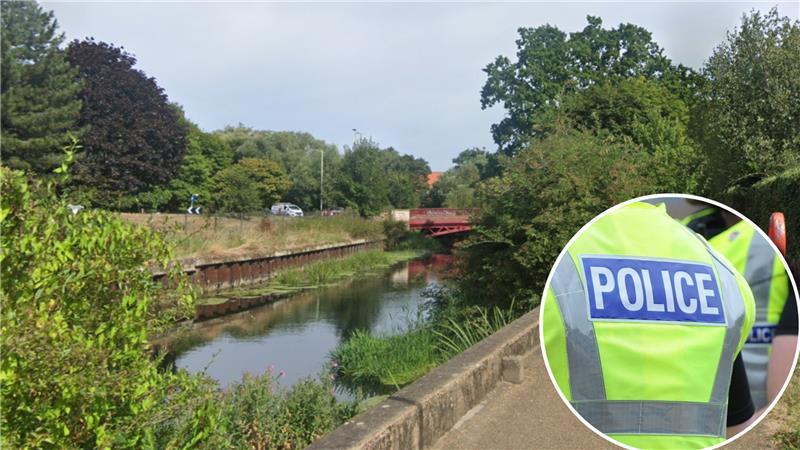
The rollout comes against the backdrop of an unusually wet spell driven by the jet stream sitting further south than normal for this time of year. The pattern has produced record-breaking rainfall, including 25 consecutive days of rain at the University of Reading, the longest such stretch since records began there in 1908. In parts of Cambridgeshire, rivers have burst their banks, flooding towns and surrounding farmland.
Beyond rainfall, the upgraded system is also expected to improve winter temperature forecasts. Previous models suffered from a persistent “cold bias”, regularly predicting lower temperatures than those recorded. Correcting this issue should help councils and transport authorities make better decisions, such as when and where to grit roads.
Dr Keith Williams, head of atmospheric processes at the Met Office, said the changes represent a “step change” in forecasting capability, adding that he could not recall another single upgrade delivering such a significant improvement.
Looking ahead, the Met Office plans to introduce artificial intelligence into its forecasting systems within the next year. Vosper stressed that AI would be used to enhance traditional physics-based models rather than replace them.
The recent deluge follows a dry spring and summer that pushed much of England into drought, triggering hosepipe bans in several regions. Only in recent weeks have all areas formally emerged from drought status. The Environment Agency is now planning an emergency drought exercise to ensure systems are in place should another prolonged dry period occur.
Helen Wakeham, the agency’s director of water, said the UK’s ability to respond to drought was improving, but warned that early warning remained a weakness. “Where I would say that we don’t have what we need,” she said, “is an early-warning system for drought.”