
Residents in the Midlands and southern England can expect clear skies and cold but dry conditions. Areas forecast to avoid snow include Birmingham, Coventry, Wolverhampton, Worcester, Hereford, Shrewsbury, Northampton, Milton Keynes, Bedford, and Luton.
Further east and south, the snow is not expected to reach Norwich, Ipswich, Cambridge, Lincoln, Rutland, and the Isle of Wight. In the south east and south west, Greater London, Reading, Surrey towns, Essex, Wiltshire, Sussex towns, Gloucestershire, Somerset, Kent, Cornwall, Devon, and Dorset are also set to escape the wintry dustings.
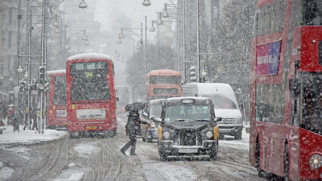
Met Office meteorologist Honor Criswick said today will feel wintry in exposed areas, but many towns and cities will enjoy clear blue skies. “While the north may experience snow and wintry showers later this week, much of the Midlands and southern England will remain dry,” she said.
The BBC Weather team added that the weekend and start of next week will be drier but colder. “Cold air from the north will clash with milder southern conditions,” they said. “Although rainfall from weakening fronts will ease, some showers may reach the east coast, particularly near the North Sea.”
Monday is expected to bring increasing sunshine to most spared cities, with cold north to north westerly winds in place. By Tuesday, a low pressure system will bring rain and hill snow to northern regions, with some wintry precipitation at lower levels, particularly in Scotland. Following this, northerly and north westerly flows will reinforce the cold, bringing occasional showers to exposed locations. Sheltered towns will see frosty nights but sunny periods.
Temperatures are expected to rise closer to seasonal averages by Friday and into the weekend, although northern regions may still experience high elevation snow with frontal rain.