
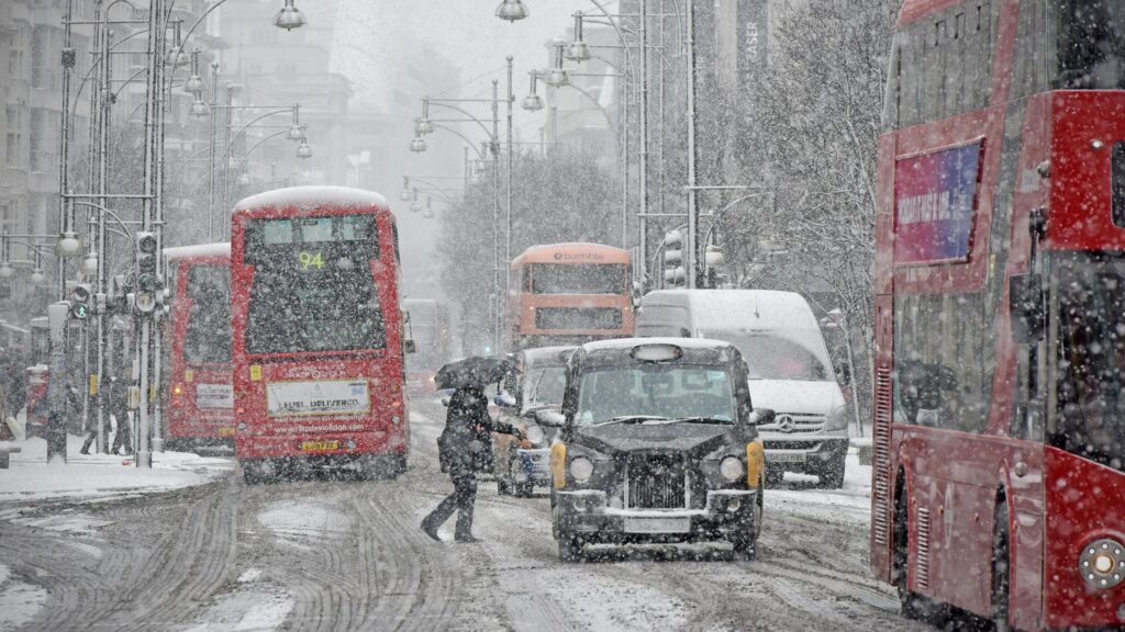
Snowfall rates could reach 10mm per hour at times, with the risk of flurries lingering until 4 December. Forecast data shows the Highlands could see as much as 9cm settling, while areas such as Dundee may receive around 3cm.
Northern England faces the highest risk, including Northumberland and surrounding regions. The West Midlands is also forecast to experience snow showers, and a light covering is possible along parts of the south coast, including western counties and areas on the outskirts of Greater London.
A number of counties, however, are expected to escape the worst of the wintry spell. These include Cambridgeshire, Oxfordshire, Lincolnshire, Norfolk, Suffolk, Essex, Kent, Berkshire, Wiltshire, Buckinghamshire, Bedfordshire, Hertfordshire and Northamptonshire.
In the immediate outlook, BBC Weather reports a windy day for most areas, with spells of cloud and blustery rain moving in from the north west. The south east is expected to stay drier and brighter until dusk.
Overnight, winds will ease across northern areas with clear spells and scattered showers, some turning wintry in northern Scotland. Further south, cloud and heavy rain are anticipated.
Saturday is set to bring widespread cloud and rain across southern and central regions. Northern areas are likely to see brighter spells, patchy cloud and occasional showers, with wintry conditions over higher ground in Scotland.
Sunday should see rain clearing to the east, leaving most areas dry and bright before a fresh band of cloud and rain moves in from the west. Conditions will become unsettled again on Monday with widespread rain, some of it heavy, along with strengthening winds. Tuesday will bring a mix of cloud, brighter intervals and showers, particularly in coastal areas.
Although the weekend will feel cold, forecasters say temperatures may rise slightly for some areas at the start of the new week.