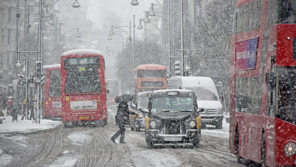
According to WX Charts, which uses MetDesk data, north Wales is expected to bear the brunt of the wintry blast, with around Aberystwyth set for the heaviest accumulation. By around 6pm, the snow band is forecast to extend from north Wales all the way to Aviemore in the Scottish Highlands. Scotland could see around one inch settling in some areas.
MetDesk modelling shows the 330-mile-wide front pushing in from around 3pm, before worsening as colder air deepens across the UK.
From 6 December onwards, the Met Office expects unsettled weather to continue, with further showers and longer spells of rain moving across the country. On Saturday, a frontal system is likely to bring locally heavy rain, particularly across hilly areas exposed to strong southerly winds. Conditions may brighten later, but heavy and thundery showers remain possible.
More organised and potentially heavy rain could return on Monday, with temperatures hovering around average but feeling chilly in wet and breezy conditions. The Met Office notes that frost and fog are unlikely during this unsettled spell.


